Tuesday, 25 June 2013

35 Salcombe to Hope Cove

Salcombe Harbour

We started from the ferry pier in Salcombe and walked up the hill out of the town, amazed by how many shops there were selling men's casual clothing - if only there was time to investigate properly! After passing the beaches at North Sands and South Sands, a steep wooded path leads up to the National Trust property, Overbeck's, famous for its gardens and eccentric collections more than for its architectural merit. There were many fine views back towards Salcombe harbour.

You continue in woods after the house and we were very taken by these tiny flowers, about the size of a Herb Robert. As so often, I have failed to identify them.


We emerged into more open country and soon found ourselves looking down on the greeny-blue water of Starehole Bay, with Bolt Head on the far side.


My eye was caught by an emerald-green insect and when it landed on some ivy, I realised there was  a Green Hairstreak nearby. I was delighted - a new sighting for me.


This was the view back over the bay from Bolt Head, with Limeberry Head behind.


We paused at a bench which offered great views in all directions and I quickly became aware of a number of quite large, fast-flying orange butterflies. I leaped up and pursued them downhill over the bracken. It was a bit like the poor traveller being lured off his path by a will o' the wisp in a fairy story. By the time I was getting close to the cliff edge at the bottom of the slope I was no nearer to getting a photo or a clear sight of the all-important under-wing markings which enable one Fritillary to be told from another. Subsequent research strongly suggests they were Pearl-bordered Fritillaries: the continuous flight a metre or so above the ground (searching for newly emerged females) is characteristic, bracken covered scrubby hillsides are a known habitat and South Devon one of the few areas where they are found. Exciting, but frustrating that I couldn't get a picture or even a clear visual impression.


We climbed up to a rocky saddle and then descended to enter the large plateau known as The Warren. There were further intermittent Fritillary sightings as we went along.


Ahead of us for much of the way was this lovely square tower and I made a slight detour inland to take a picture. I have found a couple of other photos of it by Googling, but no information about what it is or was.


After Steeple Point ...


... there is a sharp change  and the path descends steeply revealing a dramatic coastline ahead.
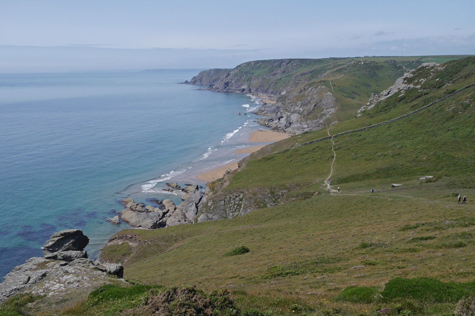

After the descent, you climb again - it is the coast path after all - and a pretty, small cove offers a view of the Ham Stone out to sea.
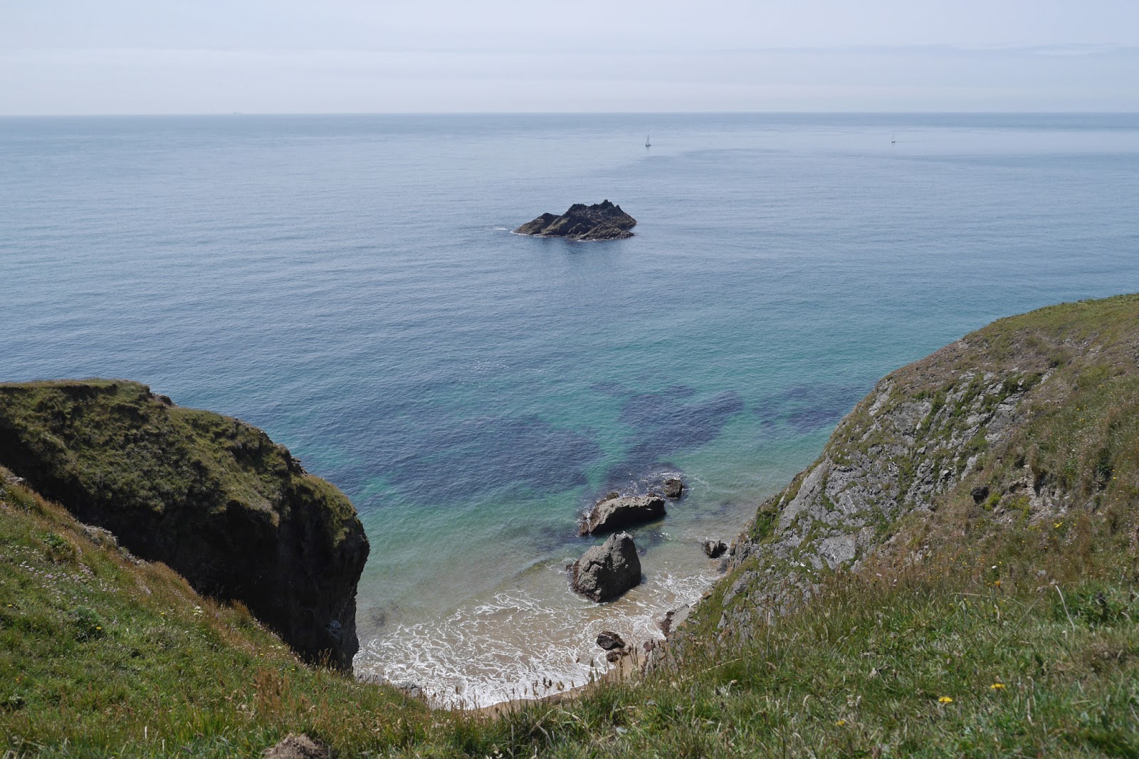

Then, after some tantalising glimpses, the fantastic sight of Soar Mill Cove unfolds in its full glory below.


A steep descent brings you down to sea level where the pair of rocks known for some reason as the Parson and the Clerk dominate the view. Perhaps unconvincingly, this put me in mind of our first sight of Hahei beach on the Pacific coast of New Zealand's North Island.


After a steep climb up the other side, we now followed a ridge-top path, with a green valley on the landward side.


Now we crossed Bolberry Down, at the end of which there was a dramatic view between two rocks back along the coast.


Soon after this we reached the grassy promontory known as Bolt Tail, overlooking Hope Cove and with Burgh Island, which dominates the next section of coast, beyond.


Just as we were going through a gate, I spotted another Fritillary, smaller and less brightly orange than the ones we had seen earlier in the walk. This one too wouldn't reveal its under-wings, but I have subsequently identified it as a Small Pearl-Bordered Fritillary - another new sighting!


We followed the grassy trail to come down into Inner Hope, where there is an unexpected but  delightful group of thatched cottages.


We had parked in Outer Hope, so we completed our walk by crossing the beach - it was low water - and marveling at the pale pink stones which were scattered across it.


Conditions: sunny and warm.

Distance: 8 miles. Distance now covered 185.1 miles.

Map: OL 20 South Devon.

Rating: Five stars. An excellent day for butterflies (we saw another ten species, including a Wall, beyond those mentioned). The scenery around Soar Mill Cove is some of the best we have yet seen. 

Monday, 24 June 2013

34 East Prawle to Salcombe


Lannacombe Bay

On our last visit (1 May) we had to make a detour off the coast path because of a cliff fall at Lannacombe. We started today at the edge of East Prawle, where we ended up last time, and walked back to rejoin the detour route and then find our way down to the coast path itself, just a few hundred yards from where we had left it. There was soon a nice view back over Lannacombe Bay. On the way down I spotted these delightful flowers on a hedgerow shrub.


We advanced along a low cliff top, surprised to see corn growing so near to the coast, and at Langerstone Point had a fine view across to Prawle Point, with its lookout station above and sea arch below.

The section leading to the point was across a low grassy area almost at sea level. Somewhere along here I saw what I have since identified as a Gannet - a gull-like bird with white wings with black bars at the ends, which dropped into the sea a few times in the manner of a Tern. It's always good to add a bird to the list I those I can identify!


But then the path climbed to reach a curious enclosed area bounded by stone slabs a little like gravestones. This wall went down both sides towards the sea and across the inland side parallel to it, creating a sort of field, albeit only with wild flowers. The overall effect was quite eerie. We have read elsewhere that stones like these are used as boundary markers.


There was a fine view head to Gammon Point and as we came closer we saw a number of Fulmars in the air and nesting on the cliffs.


We paused above the sandy Maseley Cove, which can be seen in the picture above, for a light lunch.


Soon a longer view of the coastline became available and the entrance to Salcombe Harbour could be seen, with Bolt Head on the extreme left.


We admired the quiet sandy beach at Seacombe Sands ...


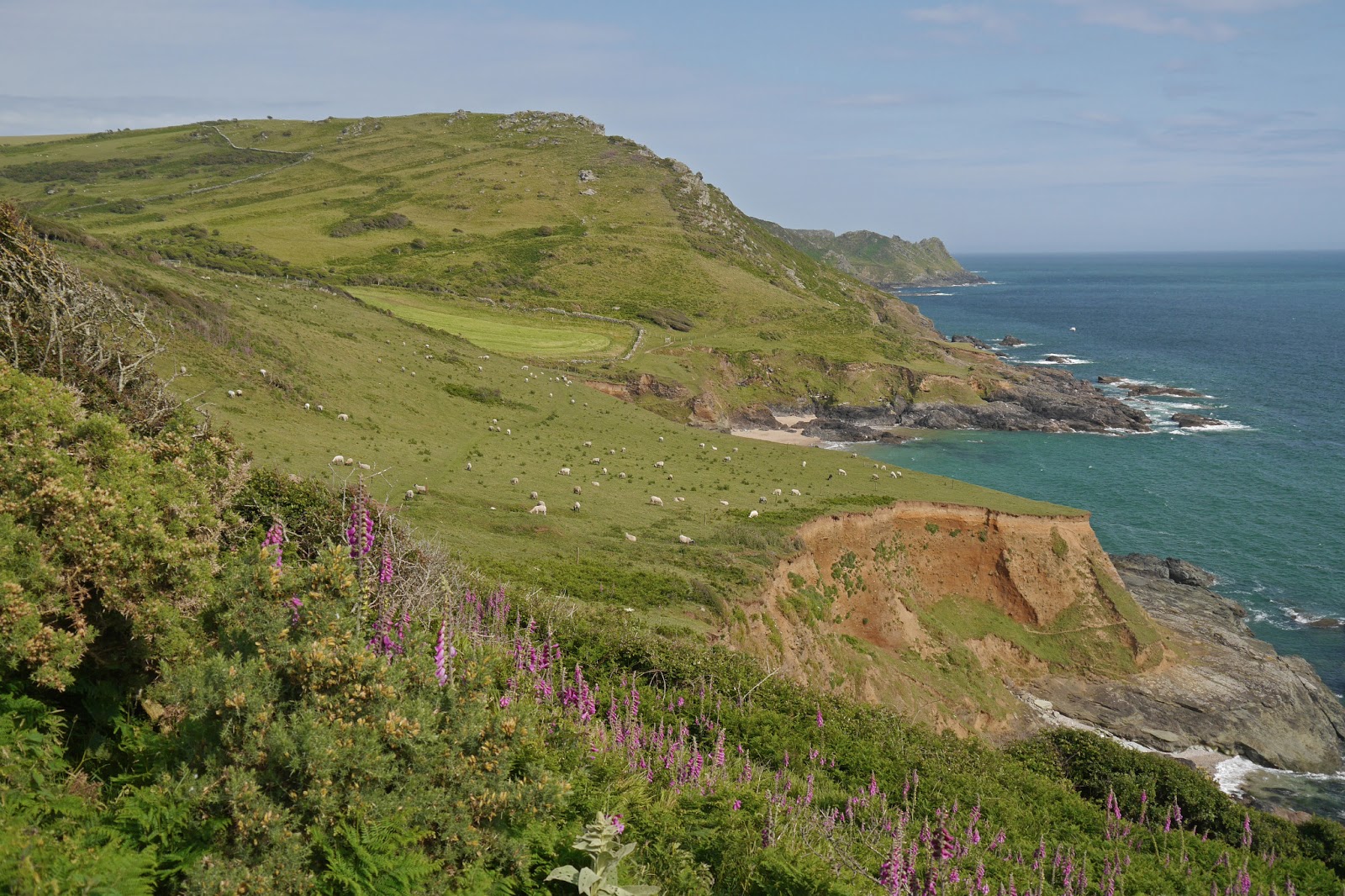
... and were staggered by the profusion of Foxgloves in the hillside above. Foxglove had certainly been the signature flower of this section of coast, but we had not previously seen such a concentration.

We climbed steadily to pass below Gara Rock, where there is clearly a splendid new modern hotel. There were great views back, with yet more Foxgloves.


Looking up, you could see the old lookout point.


The final section passed below Portlemouth Down through some very nice woodland to round Limeberry Point and enter the wide estuary known here as Salcombe Harbour. Sunny Cove is on the right, with Salcombe itself on the other bank. Beyond Sunny Cove is the lovely sandy beach at Mill Bay.

By the time we reached Salcombe we had just missed the last ferry, but a helpful resident gave us the number of a water taxi and after a not unpleasant wait in the evening sun, we enjoyed a delightful short trip across the harbour.

This is the view up the Kingsbridge Estuary as the more inland body of water is known. It is a substantial area of water, with several creeks off it.


It is not in fact an estuary properly speaking, because it is not the outlet of a river. I learn from Wikipedia that it is an example of a ria, "a coastal inlet formed by the partial submergence of an unglaciated river valley - a drowned river valley that remains open to the sea". A creek, on the other hand, is a tidal inlet of the sea. Estuaries form an important aspect of the south Devon coastline, so it is good to be clear about these distinctions.

Conditions: cloudy at first, but war.

Distance: 8 miles in all, of which 6.5 were on the official coast path. Distance now covered 177.1 miles.

Map: OL 20 South Devon.

Rating: Four stars.

Wednesday, 1 May 2013

33 Torcross to East Prawle

Torcross and Slapton Ley

We set out from Torcross, walking along the seafront promenade and then beginning the inevitable climb at the end. This offered the interesting view over the rooftops above.

Soon we were climbing a narrow hedged tracked when I spotted an orchid just coming into full flower. It is an Early-purple Orchid. Since our recent experiences in Crete, we have become more sensitised to these splashes of colour and more appreciative of them.


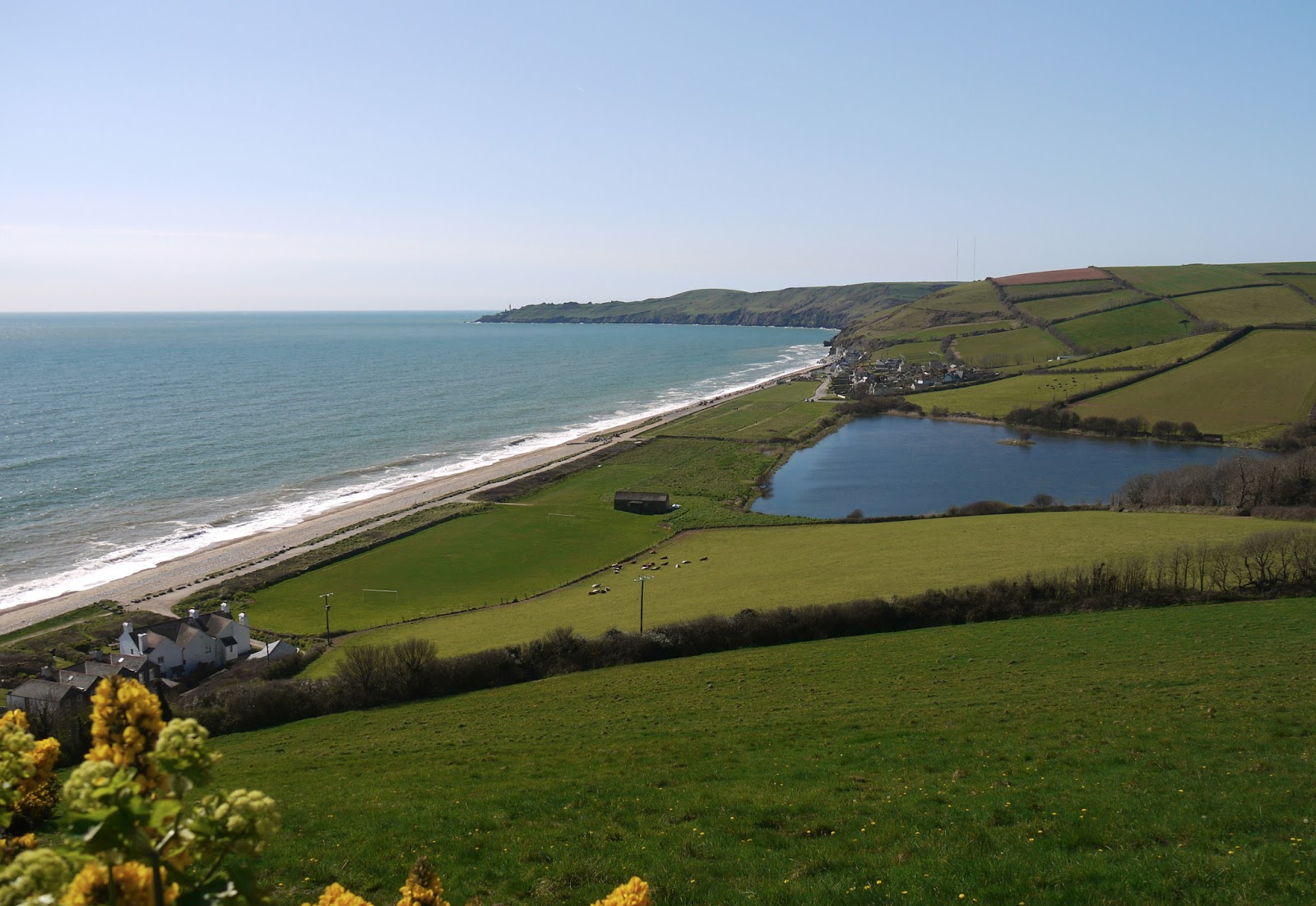
When we emerged from this track we were greeted by a fine view over Beesands with Widdicombe Ley behind it, a small brother to Slapton.


We walked down to sea level and into Beesands, with the tiny chapel of St Andrew just behind the beach.

At the end of the sea front, past the Cricket Arms, where according to the Wikipedia entry on Beesands, Keith Richards and Mick Jagger's first public performance took place, we began the climb to Tinsey Head. Right at the start, there was fine view back over Beesands, with Slapton Sands further up the coast and the coastline we walked yesterday beyond.


The next descent was to Hallsands, with the Start Point lighthouse visible on the left.


Hallsands is best known as a lost village and a bit further up the coast there is a viewing platform where you can see some of the ruined houses which remain.


An exceptionally informative set of information panels explains that although the village was destroyed by a storm in 1917, when the village collapsed into the sea, the underlying cause was dredging for gravel that had taken place in the area some years before. There was added controversy because the dredging had been done under a contract awarded by the Admiralty and the report of a subsequent enquiry, which unequivocally concluded that the dredging was to blame, was suppressed. Although no-one was killed, the villagers were displaced and were never properly compensated for their loss. The existence of the enquiry report was only confirmed in 2002.

We now advanced on Start Point and were delighted to see this rather random signpost confirming  just how far we have come since we started the SWCP in Poole. There is still a way to go of course!


We decided not to go right down the Point, but having turned the corner we were soon offered a splendid view of the lighthouse and the attendant rocks. The lighthouse was established in 1836 and is still in operation, although now controlled remotely from Trinity House HQ in Harwich.


The next section involved a pleasant reasonably level path part-way up the hillside which soon brought us to the wonderful beach at Great Mattiscombe Sand. This is the view looking back from the west end.


It is a genuinely sandy beach and the massive rocks provide shade and privacy. There is a direct path from the Start Point car park. A hidden gem.

A little further on we were struck by these two stone cones. The result of erosion?


Now we were approaching Lannicombe where we knew the path was closed as the result of a cliff fall: we assume it was the grass-free area in this picture.


We got rather a shock before we reached Lannicombe: we almost trod on an adder that was sunning itself on the grassy path. This was the first time that either of us had seen one. By the time the shock had worn off and I had moved slightly away and reached for my camera, it had slithered off into the longer grass by the cliff edge.

We knew that a 2.5 mile diversion was required and had decided that we would follow most of the diversion and then carry on to East Prawle and end our walk there.

We followed a lane inland and then a path parallel to the coast. This was our first experience of inland walking in Devon and we wanted to enjoy it. However, being Devon we were soon confronted with a massive climb up past the broom in this photo (taken from the top of the hill). Start Bay can be glimpsed above the top of the far hill.


The next section was mercifully on the flat and offered views over Lannacombe Bay.


The final section into East Prawle was along hedged lanes and we were delighted by the number of Red Admirals we saw - butterflies having been fairly thin on the ground on the coast lately.

We reached the pub in East Prawle just in time for a drink before it shut and sat outside in the sunshine experiencing a feeling of euphoria at the end of four days wonderful walking along this ever-changing coastline.

Conditions: clear and warm again, maybe 18 degrees.

Distance: 8.5 miles in all, of which 6 were on the official coast path. Distance now covered 170.6 miles.

Map: OL 20 South Devon.

Rating: Four stars.

Tuesday, 30 April 2013

32 Dartmouth to Torcross

Dartmouth Quay

We set out from Dartmouth Quay in bright sunshine on day 3 of our latest session of coast path walking. Very soon we reached Bayard's Cove Castle, a gun post dating from 1537, but built by the town, not by Henry VIII as so many other coastal fortifications were.


We followed the road down the estuary, pausing to enjoy the view back just before Warfleet.


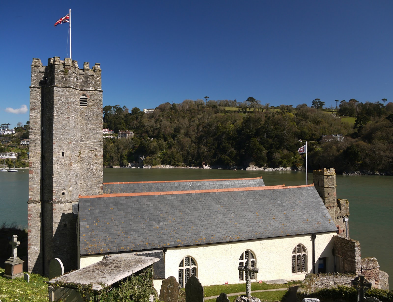
Soon after Warfleet you reach the strangely named St Petrox church - seemingly a corruption of St Peter's. Pevsner describes it as "an old foundation", but comments that the present building dates from 1648.

The nearby castle is visually disfigured by the presence of a lean-to tea room, but is a bit more visually pleasing from the grassy area above nearby Sugary Cove. The Open Spaces Society, a very worthwhile organisation which I had never previously heard of, seem to have been responsible for this pleasant open space.


The castle faces Kingswear Castle in such a way that a chain could be stretched across the river to block the estuary. It dates from about 1380 and was extended a hundred years later.

Further along, there was a fine view across the estuary to Kingswear Castle and, high on the hill to the right, the Tower day beacon inland from Froward Point. It was built in 1864 to guide ships into the estuary. The paddle steamer in the foreground offers leisure trips up the Dart.


Soon we turned Blackstone Point and had a clear view across the estuary to where we walked yesterday.

We climbed a grassy hill then walked across a meadow. As we did so, I spotted a large bird hovering above a neighbouring ploughed field. The binoculars confirmed what I immediately suspected: it was a Perigrine Falcon. We were told yesterday that they bred on the cliffs near Coleton Fishacre, and although we've walked six or seven miles since then it is probably only a mile or two as the predator flies. As ever, by the time I had begun to reach for my telephoto lens it flew off.

Before long we were walking along a grassy hillside and then had to turn inland to make a long detour through Stoke Fleming, where we had some refreshments at the lovely Green Dragon pub - and, perhaps mistakenly, did not visit the early 14th century church with its slender tower

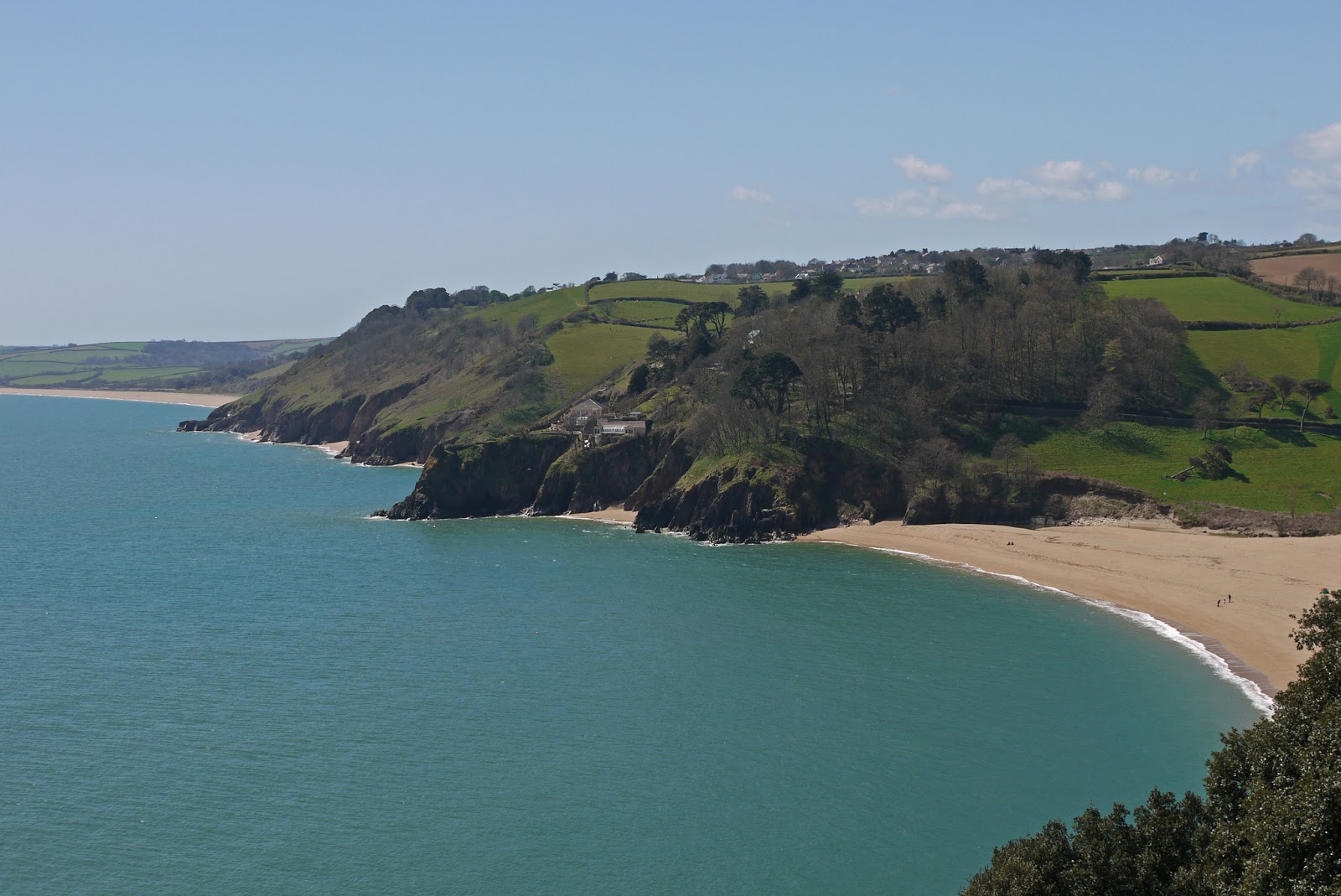
The path eventually returns to the coast above the lovely beach at Blackpool Sands.


We missed a turn here and walked further along the road than necessary, but then took the path on the left down a steep grassy hill and up the other side in the direction of Strete. This tree stood imposingly at the lowest point, overlooking a small cove.


As you approach Strete, the first clear view of Slapton Sands, with Slapton Ley behind it, is presented.


You follow the road through Strete and take a track which gently descends to the Sands at Strete Gate. It becomes clear that "Sands" is a bit of a misnomer as the beach is made of fine pebbles.

We followed the beach and later the Ley for two and a quarter miles to reach Torcross. The Ley is a surprisingly large body of freshwater, home to numerous ducks and legions of midges.


We ended our walk at the Sherman Tank. It is a monument to the loss of many hundreds of American servicemen who died when a landing rehearsal for D-Day was attacked by German E-boats in April 1944. The tank was recovered from the sea many years later.


Conditions: clear and warm, maybe 18 degrees.

Distance: 10.2 miles, a record for us. Distance now covered 164.6 miles.

Map: OL 20 South Devon.

Rating: Four stars.